ViosMaps
Vector Interactive OpenSource Maps (SVG based interactive maps)
ViosMaps - Vector Interactive OpenSource Maps
Synopsis
ViosMaps is a development aimed to help you create and render vector maps divided into regions (created in the SVG format), setting metadata and managing the interactions in an easy way.
Examples
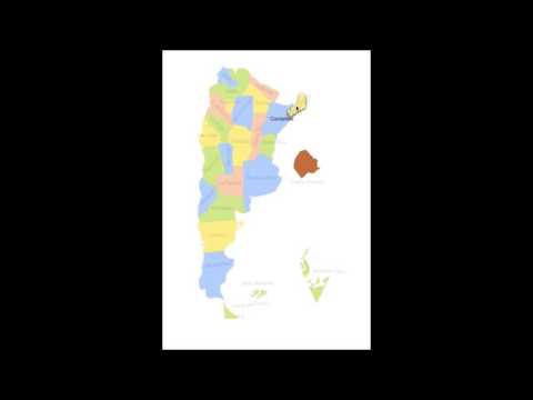
Interactive Map of Argentina (click to play video)
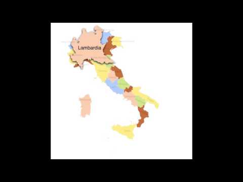
Interactive Map of Italy (click to play video)
Dependencies
- It uses the great Snap.SVG library.
Motivation
The project started as a humble attempt to render and manage interactions with each region or province for the maps of Italy and Argentina.
The idea behind opensourcing ViosMaps is mainly to be able to teamwork with developers around the world to share ideas and knowledge, generalize the codebase (by better modularization) and to add many great functionalities we can discuss about. It would be very nice if we also write good documentation encouraging more developers to use this resource as a library for their own projects.
Contributors
License
Available under an Apache 2 license which means it’s completely open-source, and completely free.